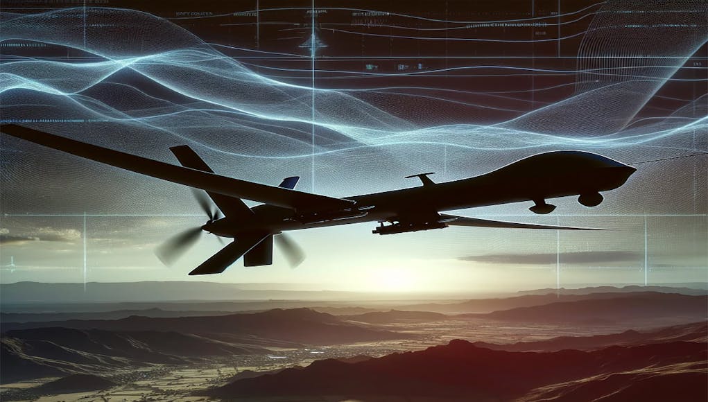
The Ministry of Defence (MoD) has awarded a contract valued at £350,000, focusing on the development of navigation systems for Unmanned Aerial Systems (UAS) in environments where Global Navigation Satellite Systems (GNSS) are denied.
The notice was published as part of defence sector procurement through the Find a Tender service.
The contract aims to address the operational challenges faced by military UAS in scenarios where GNSS signals are unreliable due to potential jamming, spoofing, or disruption. Recognising the importance of robust and resilient navigation capabilities in such situations, the MoD seeks to “de-risk and help develop complete systems that can one day fill this void.”
The award has been divided between two suppliers: Blue Bear Systems Research, located in Bedford, and Syos Aerospace, based in Tauranga. Each supplier has been allocated £172,500 to contribute to this initiative. The competitive procurement process attracted a total of five offers.
The project’s objective is to create a system capable of functioning seamlessly “in all possible scenarios including over land, over sea, in night and day, and in poor visibility,” independent of GNSS services which are “likely to be jammed, spoofed or disrupted.”
Whilst the duration and specific delivery terms of the project were not detailed in the notice, the award reflects the MoD’s ongoing commitment to enhancing the technological capabilities and operational resilience of its UAS fleet in the face of evolving threats and challenges.


Pretty sure I read something along these lines which has already been developed by a British company, I think it was for ships at sea.
Further to my last:
Quantum sensor for a future navigation system tested aboard Royal Navy ship
The Australians are testing a prototype too perhaps this is where AUKUS can be useful on a range of collaborative levels.
Read an article that stated that the initial deployment of the mature quantum sensor/’compass’ would be to SSNs and SSBNs. Apparently rational forecast, given paramount requirement for stealth. 🤔
Makes the most sense, the current system is about the size of a small car as well so it’s only going on large expensive systems that need it. The next generation satellite LIDAR and SAR systems probably make it impossible for submarines to even go shallow much less break the surface to update a GPS signal without being detected.
Looking at the background of ‘Blue Bear Systems Research’, probably looking to integrate the same kind of terrain-following guidance that cruise missiles use.
There are some novel alternatives in development based on e.g. quantum dead reckoning or exploiting ‘signals of opportunity’, but this contract appears to be for the integration of already mature subsystems.
Interesting to see how that works ‘over sea’.
There’s a bit of info about the tender document on the web. The requirement seems to be for integration of multiple subsystems that presumably work in different ways for different circumstances. Inertial guidance without the ‘quantum’ probably.
impressive, i presume submarines are using older bulkier version ?
No they use inertial navigation based on gyroscopes
Can’t they just buy R2D2 a Map ?
Well if they check them out they will see that such systems are in the early stages of being used in Ukraine by Russia and soon by Ukraine. Quite a simple system whereby if the signal breaks down as long as it has already located the or a target it has visual sensors that lock on and track that target and guides the drone onto it despite the jamming. Clearly there is room for more complex solutions but the idea of kamikaze drones is to reduce cost for all but the most sophisticated so quantum sensors though a great idea for larger static targets on a more strategic level don’t I suspect make sense for battlefield drone operations again moving targets.
Automotive has already picked up the digital gyros and accelerometers available from mass smartphone technology into Inertial Measurement Units. These provide the sensor package for 4-D physics modelling and augmentation of vehicle control.
For example 2015 Yamaha R1M IMU makes it possible to have 200bhp in a 200kg vehicle without the risk that 1bhp/kg suggests. Specifically the ECU & IMU are working on millisecond correction of the controls, similar to the Eurofighter Typhoon unstable control system but many orders of magnitude cheaper.
Since smartphones are manufactured in high volume and resulting low unit cost, the memory, compute and sensor package would support the requirements for a low price suitable for kamikaze drones.
The effect of inertial navigation is high. For example the Boeing 747-200 was able to cross the Atlantic from Heathrow to Newark using INS based on mechanical gyros and be only 10 metres out. That’s close enough for visual or IR seekers to acquire the target and complete the strike without GNSS.
Obviously tens or hundreds of kilometres range are much easier than an ocean..